
This seems as good a way as any to start this new Miami geo-blog, MiamiGeographic.com.
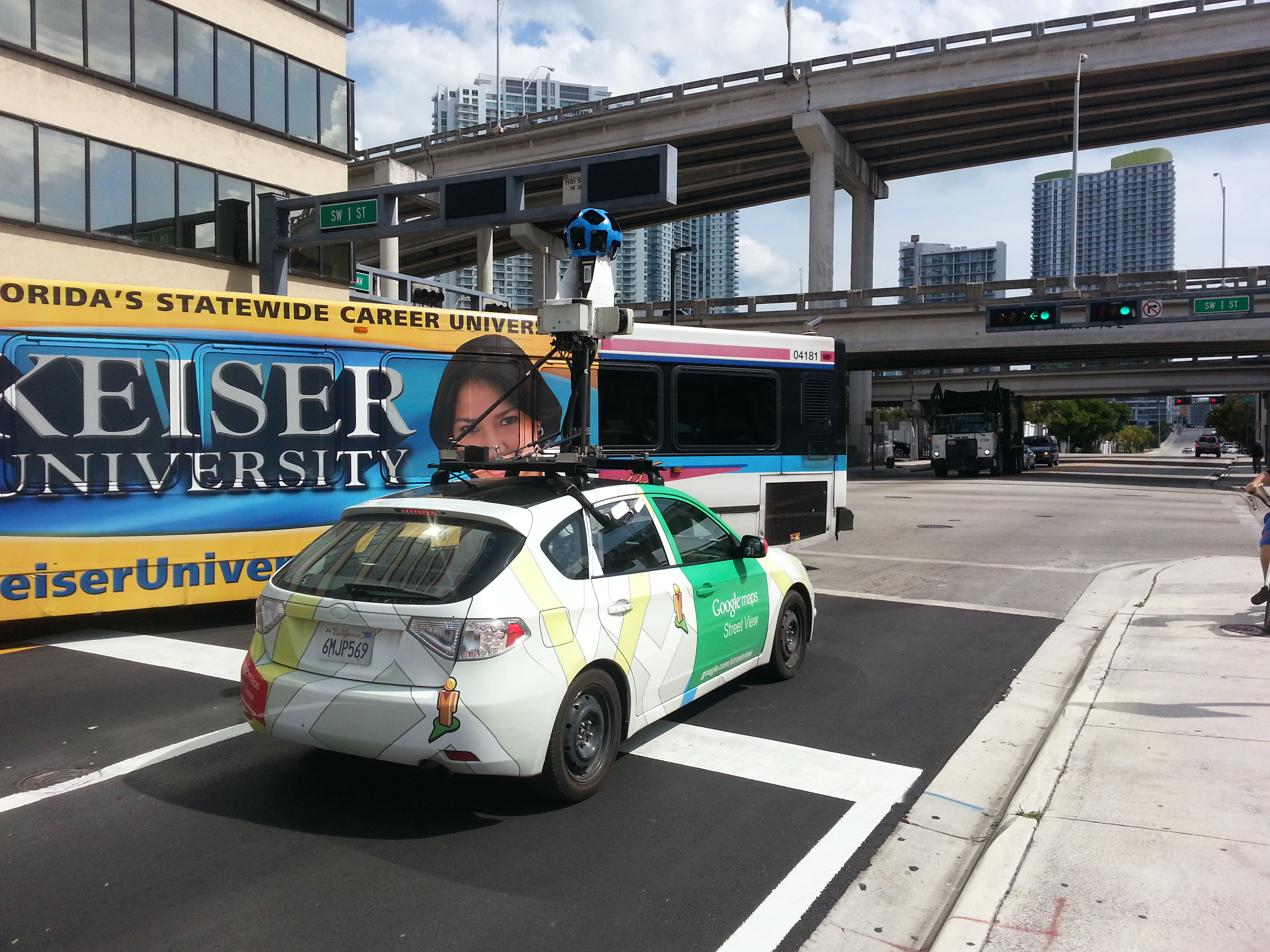
Check-out the Google Maps Street View vehicle in action in downtown Miami, on a gorgeous April afternoon.
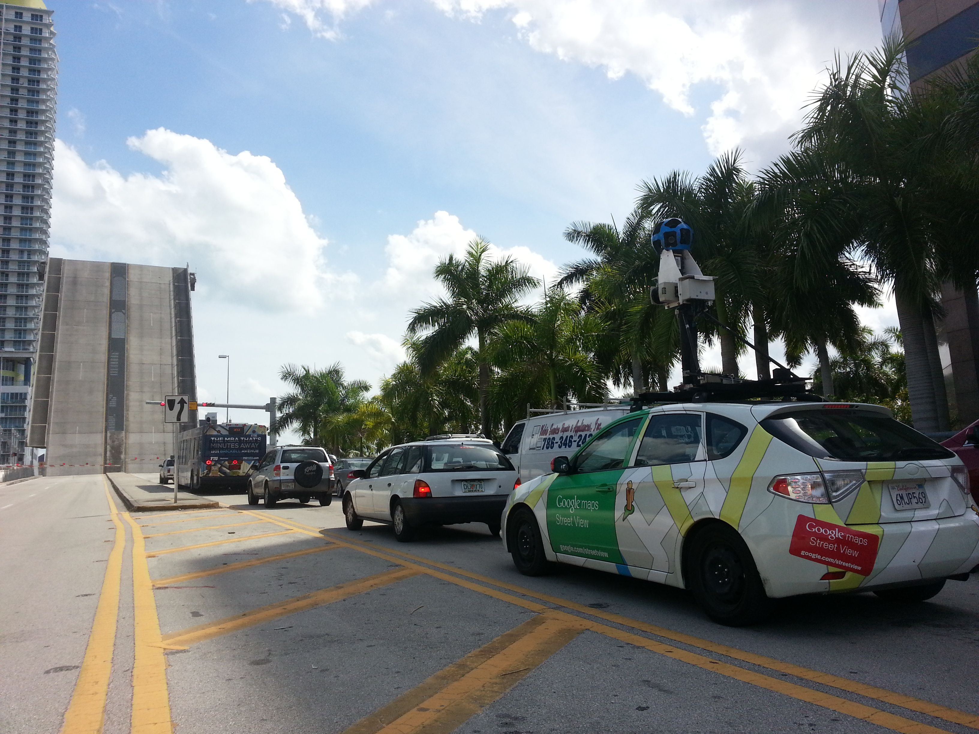
The GoogleMaps car at the SW 2nd Avenue bridge over the Miami River. Source: Matthew Toro. April 10, 2014.
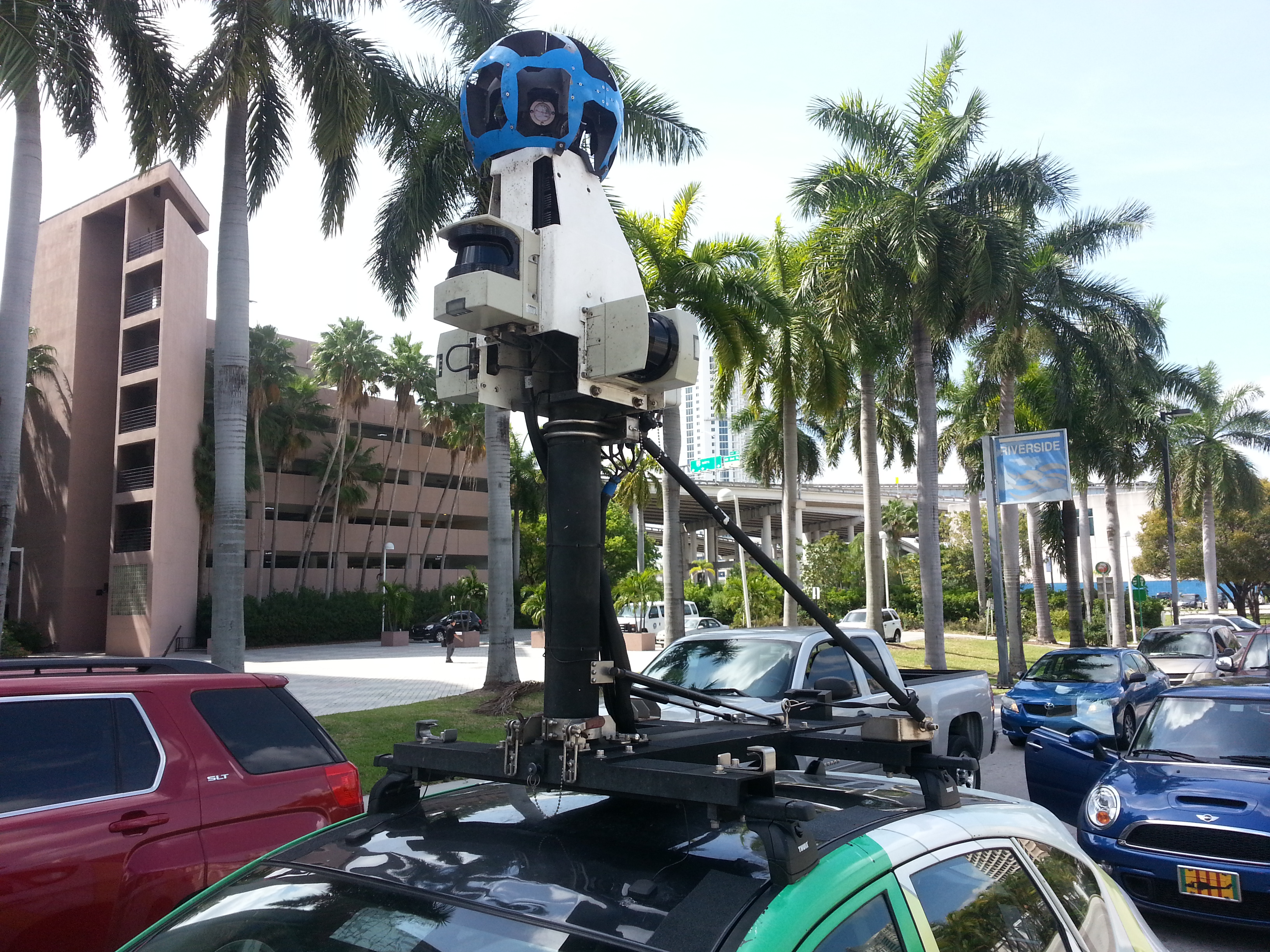
The GoogleMaps car has a 360-degree panoramic camera to generate the “StreetView” street-level features in GoogleMaps. Source: Matthew Toro. April 10, 2014.
The GoogleMaps car has a 360-degree panoramic camera to generate the “StreetView” street-level features in GoogleMaps. Source: Matthew Toro. April 10, 2014.
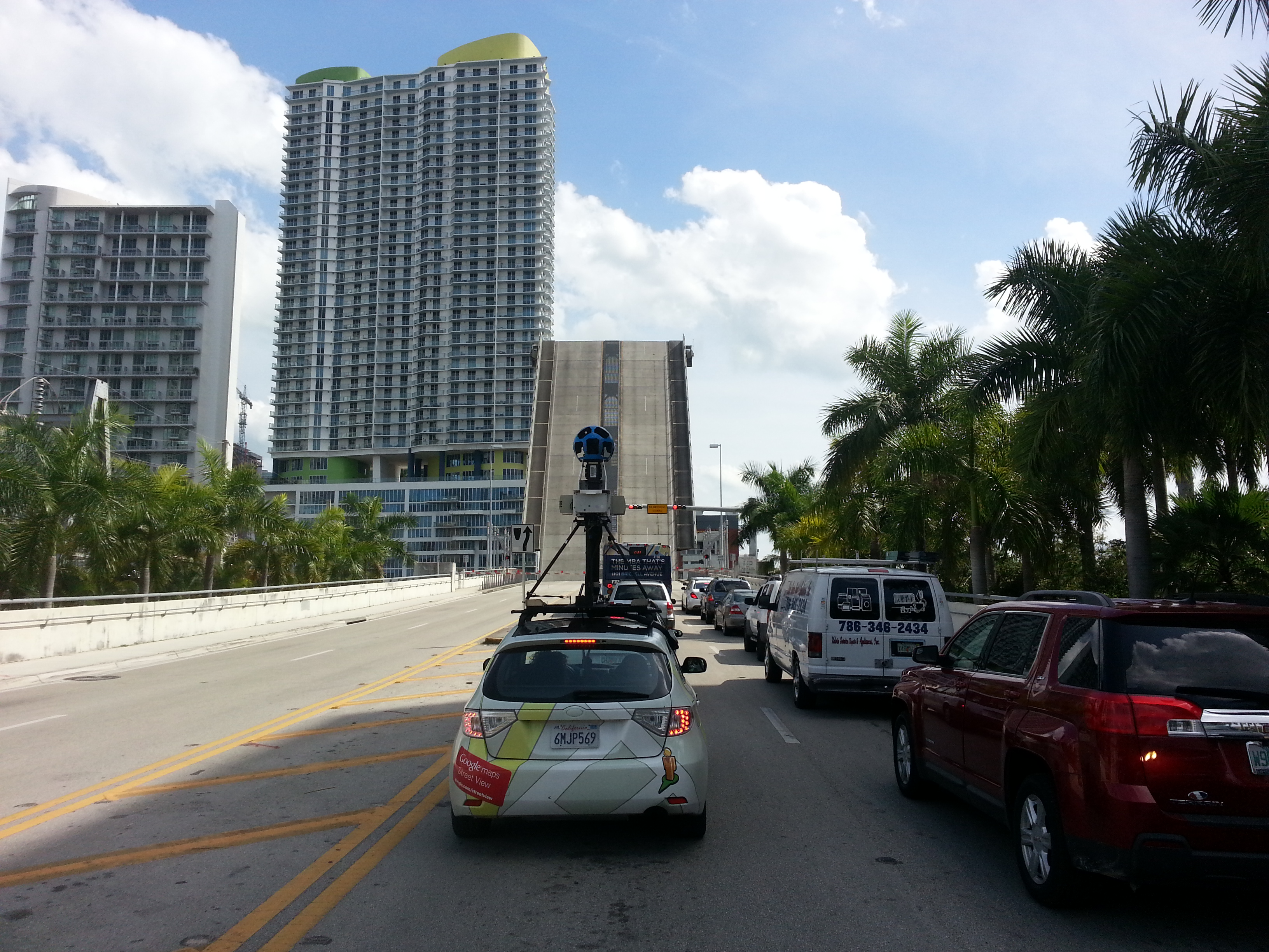
The GoogleMaps car at the SW 2nd Avenue bridge over the Miami River. Source: Matthew Toro. April 10, 2014.
